Colorado 2021
- Details
- Written by: Drew Tomlinson
We are headed to Montrose, CO to spend time with Shannon's family and explore the western slope of the San Juan Mountains. We're leaving in mid-September and staying for a month until mid-October. The weather should be a bit cooler than the last two weeks of July when we visited last year and give us more time to explore. I have never seen fall colors before and Shannon is looking forward to seeing them again. Please join us along the way as I leave behind the 20th century tools I've used in the past and resume journaling travels using 21st century software.
- Details
- Written by: Drew Tomlinson
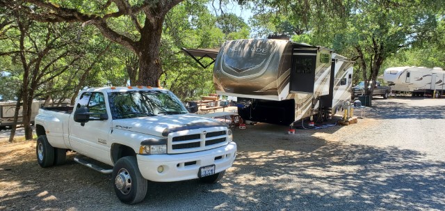
 Today is the day we begin this journey! We left town a little after 10 am. The new Solitude tows very smoothly and the recently replaced transmission and engine had the truck pulling the hills beautifully. As we left the Sierra-Nevada mountains and descended into Reno, NV, we knew that was the last "scenery" we'd see until we left Salt Lake City, UT and began traversing the Wasatch Mountains heading east on US-6 out of Provo, UT.
- Details
- Written by: Drew Tomlinson
 The first issue on this trip is that our fresh water is not so fresh. It does not have a very pleasant smell and is similar to rotten eggs. Shannon calls it "fart water" and that's an accurate description. The good news is that as long as we're connected to water hook-ups, we bypass the tank and thus, the problem. But in an effort to resolve that, I drained the fresh water tank this morning and refilled, hoping that will work. We'll see.
- Details
- Written by: Drew Tomlinson
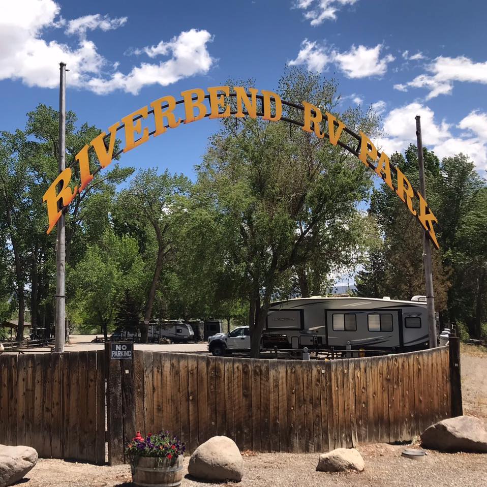 Well it just so happens that there is a self-serve car wash right outside of the Shady Acres RV Park and one of the bays is tall and meant for RVs. So OK, I'll at least hose off the mud and muck we picked up earlier coming through the Wasatch Mountains.
I'm not quite sure if it's tall enough and the height is not listed. Supposedly, the Solitude is 13' 6" tall. It will be close but I think it will fit. Fortunately it did.
- Details
- Written by: Drew Tomlinson
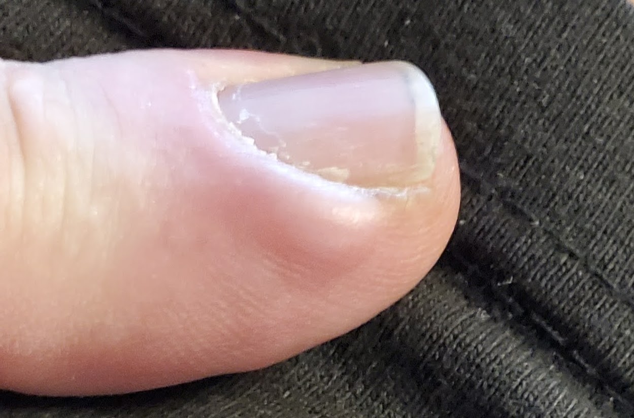 It's been a pretty lazy week. With my knee issues, the last thing I've wanted to do is spend more time in the car. So we've just been relaxing and visiting which is nice after the stress and activity the always precedes a 5 week trip such as this one. My left index finger has been sore right along the edge of the nail. I've had this before and I'm sure I have an infection starting. In fact, the last time I had this was in Estes Park, CO back in 2004. Ultimately, antibiotics didn't work and I had to have my finger lanced to get it to clear. So this time, maybe if I get on it sooner, I'll have better luck. So time to find an urgent care clinic.
- Details
- Written by: Drew Tomlinson
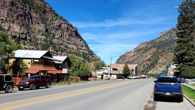 The knees are feeling a bit better and sitting around camp is getting old. So as a test, today we drove the 35 miles from camp to Ouray, CO which is known as the "Switzerland of America". It sits at about 8100' of elevation and is the home to Red Mountain Pass, the stunning 11,018-foot summit of the Million Dollar Highway in Southwest Colorado. It's a treacherous drive that has gained a spot on the dangerous roads web site but drivers are rewarded with breathtaking views. Someday we may give it a go but today is not the day with bad knees and difficulty working the brake and gas pedals.
- Details
- Written by: Drew Tomlinson
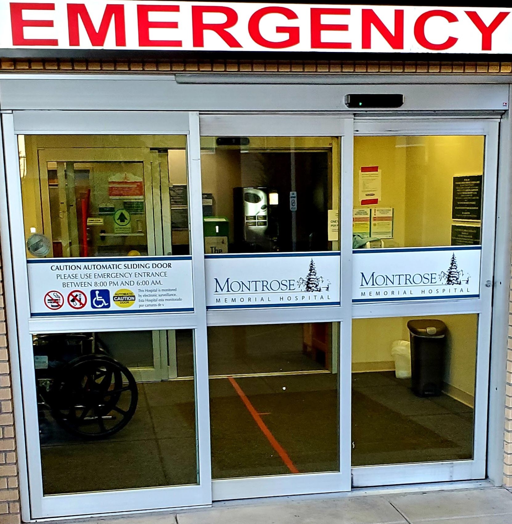
 As I mentioned in the previous entry, we landed at Shannon's mom's house after our drive to Ouray. My finger has worsened over the past two days since going to urgent care. I checked with my insurance and the only provider in the area that will accept it is Montrose Memorial Hospital. Now I'm not one to use emergency room services for routine care but if that's how I get coverage, then so be it. I'd much rather pay a $50 copay at the ER than another $150 visit to urgent care.
- Details
- Written by: Drew Tomlinson
 After suffering no ill effects from the drive to Ouray a few days ago, today we decided to take a longer one along the Grand Mesa Byway and see the beginnings of the fall colors.
- Details
- Written by: Drew Tomlinson
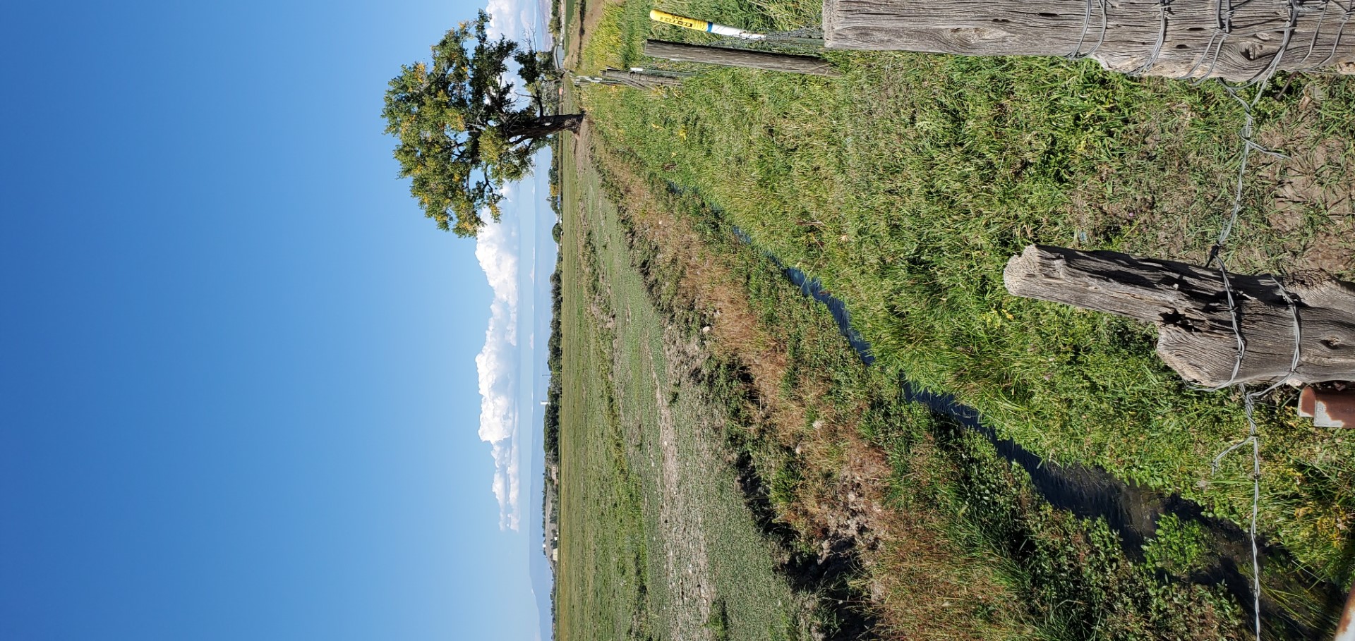 Today we took a drive with Shannon's mom. We started by heading north to Olathe, CO which is just 12 miles from Montrose. In addition to being famous for their sweet corn and home of the Olathe Sweet Corn Festival , Olathe was the first place Shannon's family lived when they moved from California to Colorado. We drove by their old house and many houses of others they knew back then. The population is less than 2,000 people so there's not much there in the way of a town. An elementary school, middle school, high school, and a few businesses. However, I imagine most people who live there either go to Delta or Montrose to do any significant shopping.
- Details
- Written by: Drew Tomlinson
 Today we took a drive along the Unaweep Tabeguache Byway west of Montrose. It winds its way along the Dolores and San Miguel Rivers. Over the years, the rivers have cut their way through the soft sandstone, leaving flat topped canyons with vertical walls. The views were spectacular.
The drive took a bit longer than we'd anticipated. I wanted to get back to the RV park before dark so we found ourselves limiting stops near the end. I didn't quite make it but close. Here are some more pictures from the drive.
- Details
- Written by: Drew Tomlinson
 Last Dollar Road was a mining supply route between Telluride and Ridgeway used in the 1800s. Because the road passed through private land, the owner charged a dollar fee to use it. Thus, it got it's name because prospectors would save their "last dollar" to be able to leave town if they did not succeed.
It's an unpaved but easily accessible in good weather. While passenger cars may be able to make it, it's recommended to have both the clearance and traction of a 4-wheel drive vehicle, especially if there has been any recent rain. It winds through beautiful aspen groves and offers fantastic views of Wilson Peak (14,252 ft.) and Lizard Head (13.114 ft.) amongst others.
After making it through, we took the highway to Placerville and enjoyed a picnic lunch in a park just off the highway. Then we took another backroad route though the Uncompahgre National Forest to return to Montrose.
It was a beautiful day and drive. Please enjoy the photos.
